Outer Banks, NC traveler's info

Login or register to download files
Raw file: OBX info-20140922.gpx (24.58 KB)
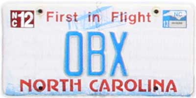
The above picture was submitted by camerabob ![]()
Includes 48 locations in the following areas:
- United States: NC
POI Info: This is a file I cobbled together using Google Maps and Extra POI Editor. So far, it contains:
- Car Washes (2)
- Hospitals (1)
- Light Houses (5)
- Laundromats (2)
- Mile Posts (30)
- Post Offices (8)
About: The reason I created this was because I was recently in the Outer Banks and I had to do laundry. Took me a couple of days to find the sucker between having fun and eating. I'm trying to save other visitors some time. The campgrounds further south may have public laundry facilities that I am unaware of at this time.
The locals may make use of the mile posts which are prominently displayed along both of the main north-south highways so I went ahead and added them here as well. (some posts are missing this year either due to vandalism, or a recent weather event) Virginia Dare Trail or '12' is locally known as the Beach Road, while Croatan Highway or '158' is locally known as the Bypass or the Big Road.
Enjoy!
Web Sites:
See also
Change History
camerabob - Sep 21, 2014
Changed the naming format for the lighthouses.camerabob - Sep 3, 2014
Added a post office and laundry service in Salvo, NCcamerabob - Apr 8, 2014
Added 2 self car washes, and post offices in Buxton and Hatteras.camerabob - Feb 19, 2014
Added lighthouses at Bodie Island, Cape Hatteras, Currituck Beach, Ocracoke and Roanoke Marshes.camerabob - Feb 9, 2014
Changed the icons for the mile posts.camerabob - Sep 8, 2013
added picture